Eine freie Initiative von Menschen bei mit online Lesekreisen, Übungsgruppen, Vorträgen ... |
|
|
Use Google Translate for a raw translation of our pages into more than 100 languages. Please note that some mistranslations can occur due to machine translation. |


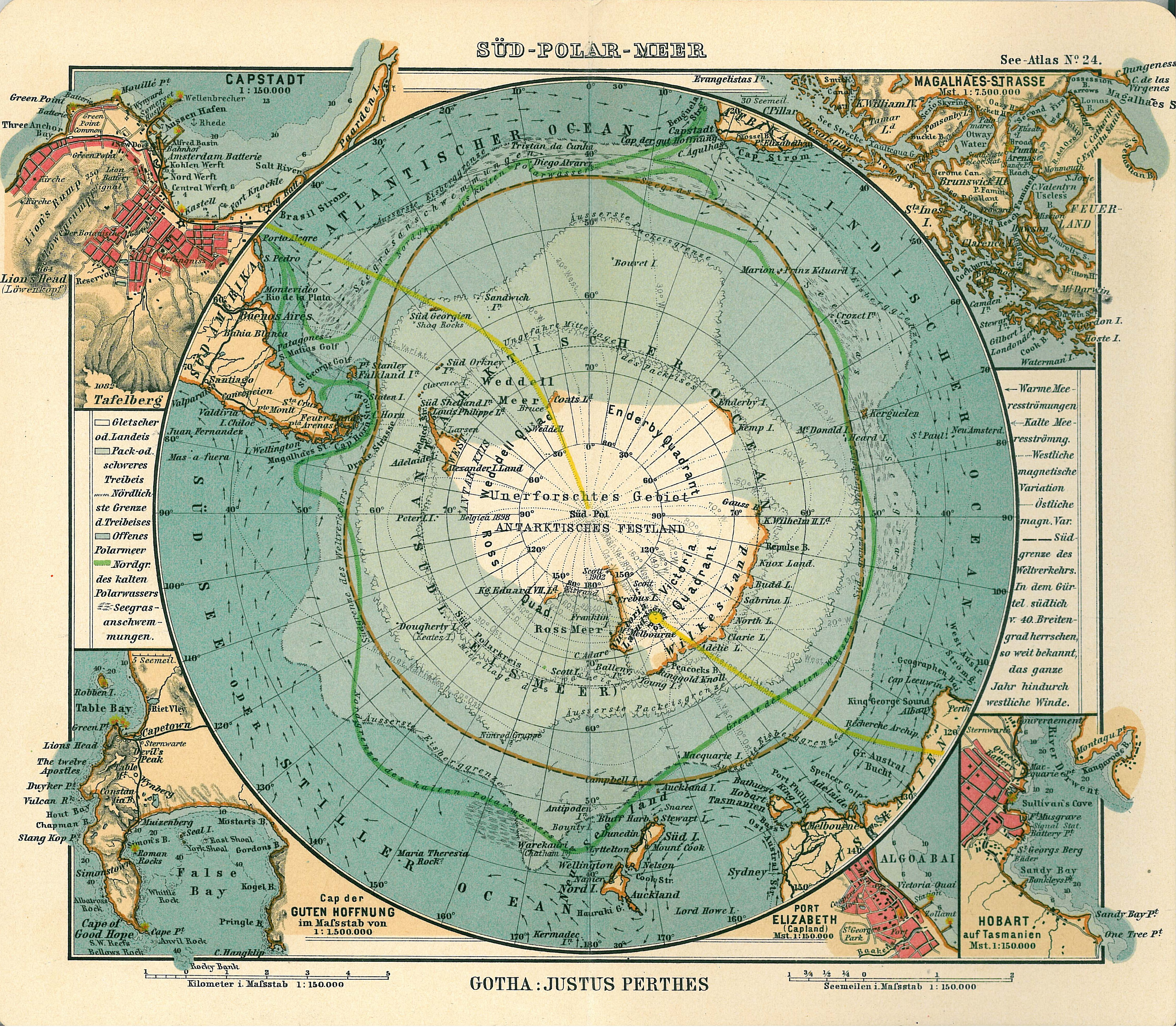
Datei:Antarctica map.jpg
Aus AnthroWiki
Größe dieser Vorschau: 686 × 599 Pixel. Weitere Auflösungen: 275 × 240 Pixel | 550 × 480 Pixel | 879 × 768 Pixel | 1.173 × 1.024 Pixel | 2.345 × 2.048 Pixel | 4.549 × 3.973 Pixel.
Originaldatei (4.549 × 3.973 Pixel, Dateigröße: 6,18 MB, MIME-Typ: image/jpeg)
| Verleger |
Justus Perthes |
||||
| Beschreibung |
Deutsch: Blatt 24, Süd-Polar-Meer
English: Page 24, Antarctica, Inset maps of Cape town, Cape of good hope, Magalhaes strait, Hobart, Port Elizabeth |
||||
| Veröffentlichungsdatum | 1906 | ||||
| Erscheinungsort | Gotha | ||||
| Quelle | See Atlas | ||||
| Genehmigung (Weiternutzung dieser Datei) |
|
||||
.jpg)
Dateiversionen
Klicke auf einen Zeitpunkt, um diese Version zu laden.
| Version vom | Vorschaubild | Maße | Benutzer | Kommentar | |
|---|---|---|---|---|---|
| aktuell | 18:08, 15. Jan. 2007 | | 4.549 × 3.973 (6,18 MB) | wikimediacommons>Martas011 | Category:Old maps of Antarctica Category:Maps of oceans Category:Maps of the Southern Ocean Good map of Antarctica, Justhus Perthes See Atlas 1906 Inset maps of Cape town, Cape of good hope, Magalhaes strait, Hobart, Port Elizabeth |
Dateiverwendung
Die folgende Seite verwendet diese Datei:
